Traversing the Sesto Dolomites: A Field Manual for Quiet Valleys
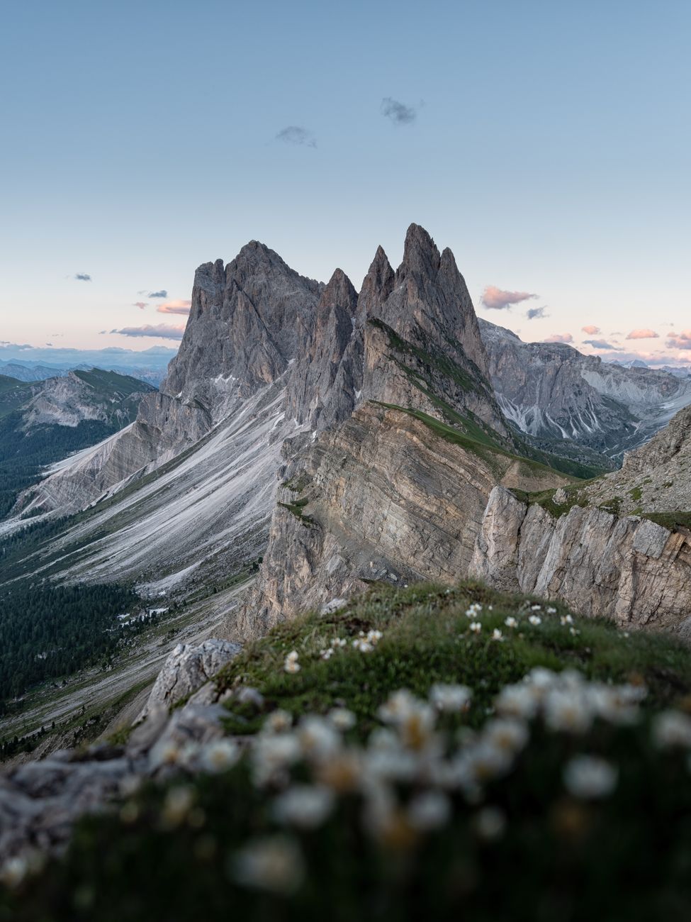
The limestone spires of the Sesto Dolomites rise like cathedral ruins frozen above high pastures of alpine larch. While busloads collect at crowded overlooks, a parallel world of silent ridges and shepherd trails unfolds just two kilometers beyond the asphalt.
The Geometry of Dolomite Rock
Dolomite, distinct from common limestone due to its rich magnesium carbonate content, catches twilight with an ethereal pink and amber luminescence known locally as enrosadira. Ascending from Val Fiscalina at dawn, when the morning frost still crusts the pine needles, the traveler leaves behind modern telecommunications in favor of rhythmic breathing and gravel crunching under leather soles.
We charted a five-day traverse connecting family-operated mountain shelters that have welcomed hikers since the Austro-Hungarian era. Here, electrical generators are shut off promptly at nine in the evening, leaving guests enveloped in pure alpine silence broken only by the distant clink of goat bells.
"True mountain journeys are measured not by vertical meters conquered, but by hours spent observing the shadows shift across unmoving stone."
Pasture Cuisine: Heritage of the High Huts
Food at this elevation is uncomplicated yet deeply restorative. The morning begins with unpasteurized cow's milk boiled over birch wood, coarse rye sourdough bread, and mountain butter churned from high summer pastures. For dinner, traditional buckwheat dumplings (canederli) steeped in beef broth restore calories burned over limestone passes.
- Best Season: Mid-September to early October for golden larches and crisp, stable skies.
- Gear Consideration: Vibram-soled leather boots with ankle support; collapsible carbon poles.
- Permits & Conduct: Camp only in designated hut sanctuaries to preserve delicate subalpine flora.
Practical Field Notes
Begin your trek from San Candido or Sesto. Train connections through Bolzano run regularly and allow a seamless journey without the burden of private vehicle logistics. Always carry topographic paper maps of the 1:25,000 series, as high mountain cols frequently obscure cellular networks.